Paddling around Walney island with a group, I had the good fortune to meet this little fellow. He was curious and had a good chew of the toggle on my bow before trying to climb onto my boat. Amazing!

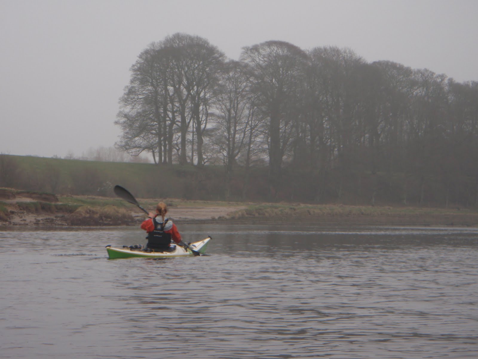
 I couldn't really see anything much. The GPS said I was shooting past at 20 km/hr so I guessed that I was actually in the race. It was a bit hard to tell it was so flat. Finally I found an eddy line and paddled in to the cliffs.
 Loads of fantastic crinkly rocks. Just as I was thinking of moving on, I saw the flash of a paddle in the distance. As I got closer the blur resolved itself into two paddlers, and who should I bump into but Mark and Heather Rainsley. I think they were out paddling when they should have been working, but don't tell anyone! We made a very tentative plan to meet up on Ailsa Craig on Thursday and then went our own ways. In my case this was to camp at Port Logan.
 I found a perfect camp spot in Lady Bay, just within Loch Ryan...
 ...where I could watch the ferries as I cooked my dinner.
 I arrived to find the island deserted. I thought I had been stood up. After no more than five minutes I saw paddles over the pebble bank and Mark and Heather appeared round the corner.
 We explored the area around the buildings, had lunch and then set off for a circumnavigation before heading back to Lendalfoot. The cliffs on the far side of the island were spectacular, more so because every ledge had a nesting gannet in situ.
Finally, our time was up and we set off for Lendalfoot together. The crossing was soon over. Just having company made the paddling easier.
Here's a map of my route. Thanks are due to Mark and Heather for suggesting a trip to Ailsa Craig. I probably wouldn't have thought of it myself.


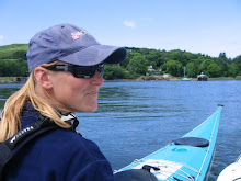
 Flat calm conditions as we leave Lancaster


 Weir just before Appleby
  Caves at Eden Lacy
 The classic white water section
  Armathwaite weir
 Close to the M6, near Carlisle